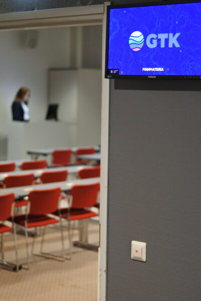
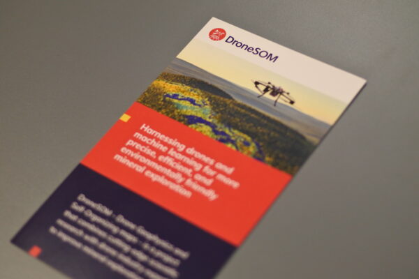
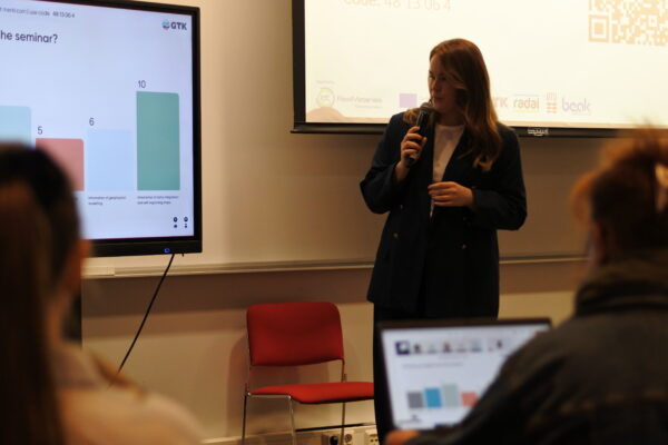
The final seminar for DroneSOM took place in a hybrid format during the FinnMateria expo in Jyväskylä, Finland, on November 7, 2024. The event was held on the second floor in room Alvar. A total of 117 participants attended, with 33 joining onsite. Given that lot of attendees were from outside Finland, the hybrid format was essential for inclusivity. Notably, 70% of the participants were professionals in the raw materials sector, which bodes well for future customer engagement.
The day’s program featured presentations from Mikko Korhonen, our project officer at EIT Raw Materials, as well as a keynote address from Pekka Suomela of FinnMinn. Additionally, the DroneSOM team presented their parts of the project. The Menti platform facilitated engagement by allowing both online and onsite participants to share their comments and contribute to discussions, fostering productive conversations throughout the event.
Mikko Korhonen is a Business Development Manager at EIT RawMaterials and has been the project officer for the DroneSOM project since October. In his presentation, Mikko emphasized the importance of upscaling, noting that products should aim for market introduction or commercial use within two years after the project concludes. Throughout the DroneSOM project, he closely monitored progress, ensuring that most products had already entered the market or had been upscaled to meet industry requirements.
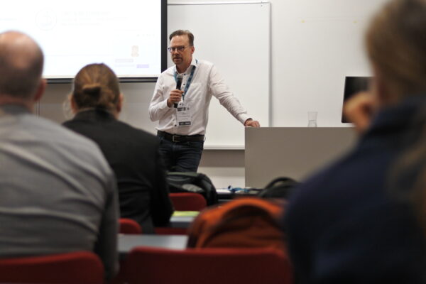
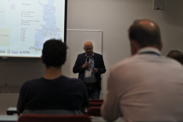
Pekka Suomela was invited to be our keynote speaker due to his extensive career in the mineral sector. He has served as the Executive Officer of the Finnish Mining Association (FinnMin) since 2012. FinnMin is the national organization representing the Finnish mining cluster, with members involved in mineral exploration, mining, mining equipment, and technology. Previously, Pekka worked for the Ministry of Employment and the Economy as the Chief Inspector of Mines. He has accumulated significant experience in mineral policy issues and boasts over 15 years of professional expertise. In his presentation, he effectively addressed Finland’s mineral strategy and the geopolitical context of the EU’s Critical Raw Materials Act (CRMA).
Jochen Kamm is a Research Professor at GTK, specializing in electromagnetic and potential field geophysics. His expertise includes field data acquisition, data processing, and the development and application of numerical methods for modeling and inverting geophysical data. He particularly focuses on mineral exploration, deep exploration, and mineral system analysis.
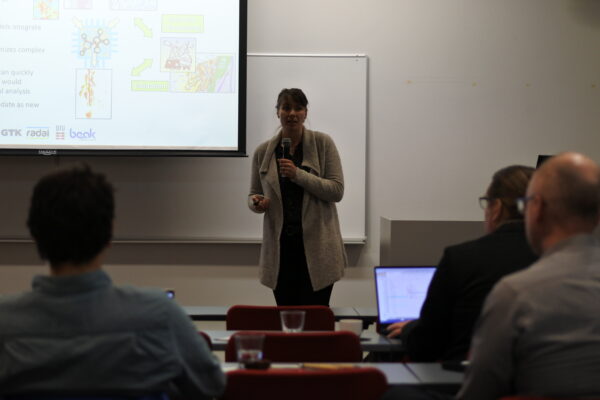
As a project contributor, Jochen Kamm outlined the main objectives of the DroneSOM project for the period 2022-2024. The DroneSOM project is a KAVA 8 upscaling initiative aimed at advancing prototypes toward market readiness, specifically increasing the Technology Readiness Level (TRL) from 5 to 7. This project focuses on drone-based geophysical data collection, with electromagnetic (EM) measurements developed by Radai and gravity measurements provided by the Technical University of Denmark (DTU). The upscaling efforts have included integrating data and developing integration technology tools. This work involves using self-organizing maps in 2D, known as GisSOM by GTK, as well as self-organizing maps in 3D, referred to as advangeo® 3D Prediction by BEAK, and conducting 3D inversions of the upscaled drone geophysical data, also by GTK.
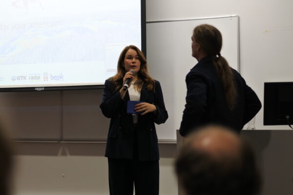
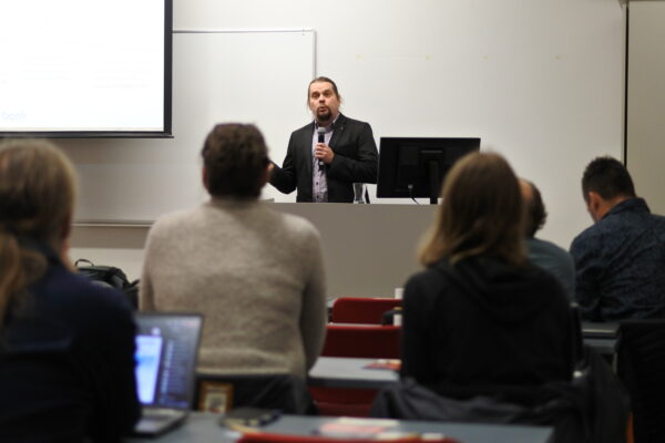
Markku Pirttijärvi is the Chief Geophysicist at Radai. He has an academic background in numerical modeling, inversion, and software development, specializing in potential field methods (gravity and magnetic) as well as electromagnetic methods (controlled-source frequency and time-domain). At Radai, he has designed data processing software and UAV flight path software and is currently developing a new UAV-based electromagnetic (EM) survey system.
In his presentation on drone-based electromagnetic surveys, he evaluates how Radai Ltd has developed a lightweight EM device called Louhi, which can be operated by drones. The semi-airborne version of this device is nearing completion, currently undergoing phase calibration. The field operations have proven to be safe, and overall efficiency is high. EM surveys using a fixed loop generate vast amounts of data that require extensive 3D modeling and inversion, a process that is both time-consuming and labor-intensive.
Radai’s goal is to create a fully airborne single-drone “Slingram” system, in which a towing VTOL (Vertical Take-Off and Landing) drone carries a small transmitter loop. This approach eliminates the need to lay down a ground loop, allowing for shallower exploration depths of less than 50 meters, which is expected to significantly increase efficiency. Additionally, 1D inversion will provide quick resistivity maps, with hopes of conducting the first field tests in early 2025. The next step is to collect data that will be used to develop a geophysical 3D inversion model.
Bjørnar Dale is a PhD student at the Department of Space Research and Technology at the Technical University of Denmark (DTU Space). He holds a degree in civil engineering with a specialization in geomatics and physical geodesy from the Norwegian University of Life Sciences (NMBU). His PhD project, titled “Gravimetry from Aircraft and Drones,” involves developing gravity software for processing drone-based gravity campaigns, including those conducted under the DroneSOM initiative and other projects at DTU Space.
Drone gravity measurements have made significant advances recently. However, the requirements and limitations for the drones are governed by flight regulations, which specify that the wingspan must be below 3 meters and the total weight must not exceed 25 kilograms. One of the main limitations of the system is the weight of the sensors. For instance, the iMAR sensor, including the power cable, weighs 7.20 kg; the GNSS antenna weighs 0.11 kg; the LiPo battery weighs 0.31 kg; and the total sensor weight is approximately 7.70 kg when including cables.
DTU Space has developed two types of drones: a fixed-wing drone and a quadcopter. The fixed-wing drone, designed by the Danish company Dines Avitech, can carry a payload of 8 kg, making it suitable for iMAR sensors. There is a need to scout for suitable drone landing sites. The key challenges for this project include adverse weather conditions, the limited range of Beyond Visual Line of Sight (BVLOS) operations due to radio link restrictions, and a maximum altitude of 600 feet Above Ground Level (AGL) as mandated by the Finnish Civil Aviation Authority (CAA). In conclusion, the payload weight is a critical limiting factor, and improvements are needed in the integration between the Inertial Measurement Unit (IMU) and Global Navigation Satellite System (GNSS). The path to achieving successful measurements with the quadcopter has encountered several challenges, including a power bug in the flight controller and an engine failure. Currently, the drone configuration is close to optimal; however, it is assumed that the IMU will be mounted upside down. As of now, the drone is not yet ready for commercialization. Future steps include making modifications to the fixed-wing drones or developing a new, smaller IMU.
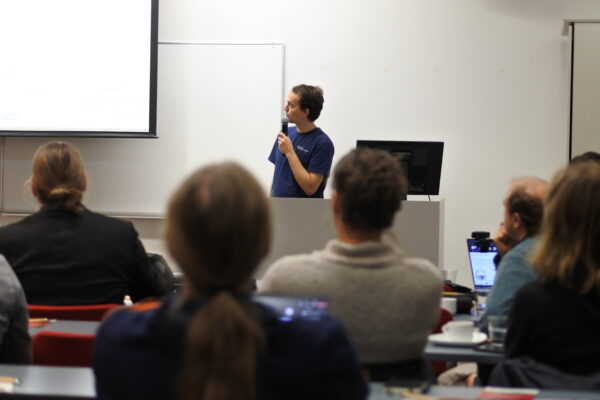
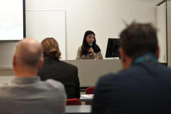
Longying Xiao is a senior scientist at GTK, primarily focused on developing efficient computational methods for non-seismic geophysics. She has extensive experience in numerical modeling and inversion of various types of electromagnetic data, including 3D time-domain electromagnetic inversion, time-lapse inversion, anisotropic magnetotelluric modeling, and controlled source electromagnetic modeling.
In her role with DroneSOM, she is tasked with developing 3D frequency-domain electromagnetic inversion techniques to interpret datasets collected by drones. The development of geophysical 3D inversion models has progressed well. Key features of the inversion method include the finite element method, dual octree grid inversion, MPI parallelization, as well as considerations for electric permittivity and magnetic permeability.
Looking ahead, the next steps involve creating an iterative solver, implementing GPU computing, enhancing multiscale multitype electromagnetic inversion techniques, and advancing adaptive electromagnetic inversion methods. The current inversion techniques have been successfully used to process real data, and the goal is to apply them to drone data within the next couple of months.
Johanna Pesonen is a Senior Scientist at GTK, specializing in the processing and analysis of various geoscientific data. Her primary focus is on integrating geochemical elemental concentration data, gridded airborne geophysical data, and spectroscopic data. In the DroneSOM project, she is developing the “GisSOM” software, which aims to integrate information from geospatial data. Significant progress has been made towards the commercialization of data integration using GisSOM.
GisSOM was initially part of the EU-funded NEXT project, which offers a free open-source version available at https://github.com/gtkfi/GisSOM. The system has since been upgraded as part of the DroneSOM project. GisSOM is a desktop application that applies self-organizing maps and k-means clustering to both spatial and non-spatial multivariate data. It is designed to help users understand data structures, identify clusters and evaluate their quality, uncover relationships among labeled data points (such as known mineral deposits), and visualize results, particularly for spatial data. The development of software functionalities is focused on enhancing these capabilities.
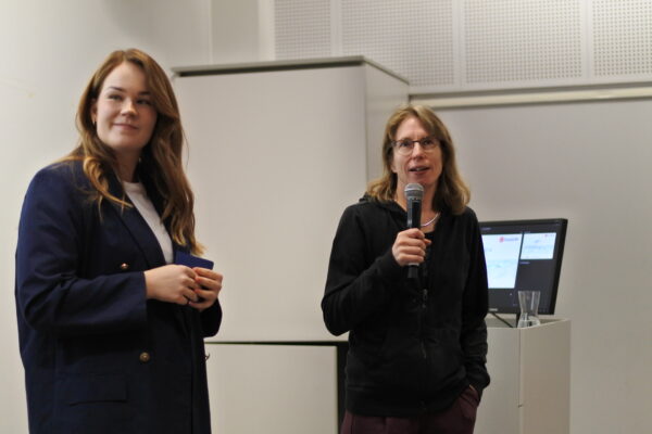
Ina Storch is a geophysicist leading the software development activities at Beak Consultants GmbH for the DroneSOM project. Her focus is on enhancing the advangeo® 3D Prediction Software, which aims to integrate data using 3D tools to identify new exploration targets with high mineral potential.
The current process combines multiple data sources without machine learning, relying heavily on geologists’ expertise and well-established mineralization models. However, machine learning (ML) offers an empirical approach that utilizes statistical analysis to identify patterns within large datasets. Developed by Beak Consultants, advangeo is designed for both 2D and 3D data, enabling the prediction of geospatial events and phenomena, such as the likelihood of geo-hazards or the locations of mineral deposits. The software provides a complete workflow for predictive modeling, covering all stages from raw data collection to data preprocessing (e.g., calculating derivatives, distances, and raster scaling), model parameterization (using methods such as Self-Organizing Maps, Random Forest, and Artificial Neural Networks), and valuation. Additionally, it includes a database for tracking all model runs. The software is commercially ready, with ongoing improvements in development.
Ari Saartenoja is the founder and CEO of Radai Ltd, bringing over 20 years of experience in project management, customer service, technical development, and team management. Since 2012, he has been developing innovative geophysical survey systems for drones. Radai acts as the commercialization partner, responsible for selling the DroneSOM products and services.
The offerings include drone-based electromagnetic (EM) surveys equipped with 3D EM inversion software, drone-based gravity surveys, GisSOM – data clustering, and prospectivity mapping of advangeo 2D and 3D. The targeted customers are mining and mineral exploration companies operating in Northern Europe and Scandinavia, with a focus on medium and small mineral exploration firms, as well as consultants providing services to these companies.
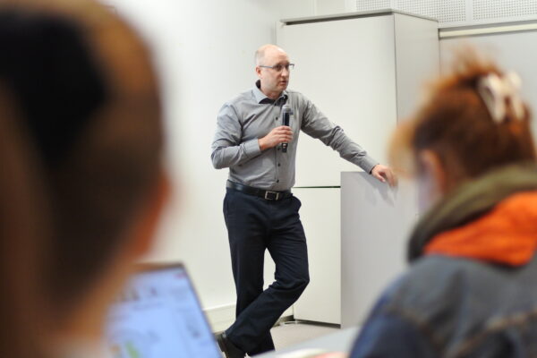
The main takeaways are as follows:
Drones can operate at low altitudes and slow speeds, allowing them to cover larger areas much more quickly than ground measurements while still providing high resolution. This capability positions drones effectively between airborne measurements, which cover regional scales, and ground measurements, which focus on more localized deposits. Drones are versatile and can access a wide variety of terrains, including mountains and protected areas.
However, there are challenges related to the necessary geophysical and geological expertise, as well as the tools and computations involved. These processes can be slow and expensive, often leading to insufficient resources for effectively interpreting geophysical data. Consequently, data is sometimes evaluated visually, which poses certain risks. Additionally, time constraints can impede thorough analysis, as conducting a geophysical survey—from data collection to integration—may take several months.
To enhance efficiency, cheaper and quicker measurement methods should lead to faster and more cost-effective interpretations. The use of advanced interpretation and integration software tools offers significant advantages in this regard.
The DroneSOM team thanks everyone for their participation both online and on-site!
Please contact us via email dronesom@dronesom.com for more questions or service requests.
