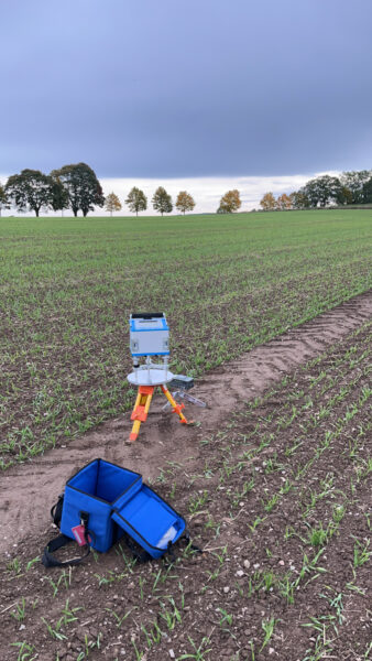
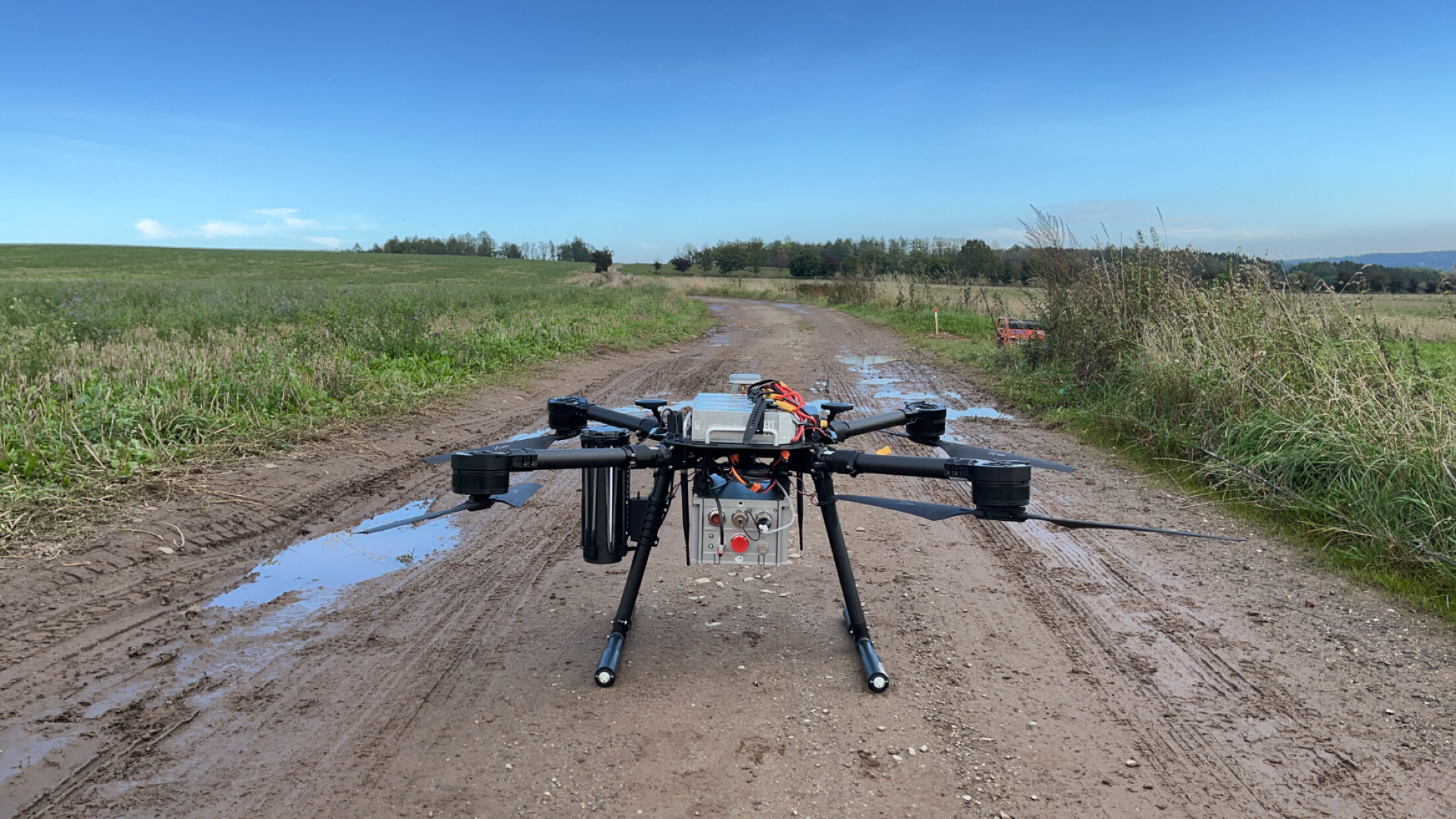
On Monday, October 7th, we were ready for our final field campaign in Erzgebirge (Augustusburg), Germany. The primary objective of this drone survey was to better understand the necessary filtering length and the two different observation techniques: hovering and constant flight speed.
In comparison to the field campaign in Sweden, we only made some minor improvements to the drone configuration:
- Use of RTK service for autopilot positioning during flight.
- Using tight lock screws for installation of the IMU to minimize vibration and noise in the IMU observations.
- A calibration procedure is performed to estimate and remove accelerometer and gyroscope biases.
To better understand and mitigate sensor biases, a calibration routine was performed to cancel out biases in the accelerometer and gyroscope biases before and after each survey day. The calibration routine is based on rotating the IMU 90 degrees, such that all accelerometer and gyroscopes measure the same signal allowing to cancel biases for each accelerometer and gyroscope.
Based on obtaining a better sensor understanding, one of the three flight lines was flown three times: two times westwards, and one time eastwards. This will allow us to investigate if the observation system has any heading-dependent errors propagating into the derived gravity disturbance. These multiple flights are used for validating internal accuracy. In addition, two sets of point-based observations, with a spatial separation of 100 meter, applying the hovering technique were collected. Observations from these two observation techniques should theoretically give the same result. The remaining two parallel flight lines were flown with a line separation of 100 meters at a constant speed of 2 m/s.
As an independent external validation, DTU carried out a terrestrial gravity survey along 1 km of the repeated survey line using a Scintrex CG-6 relative gravimeter. The terrestrial points were located underneath the drone’s hovering points, such that comparison between data collected with constant flight speed, hovering technique and terrestrial gravity can be made.

The survey ended on Wednesday afternoon when the wind picked up with an incoming low-pressure system and heavy rain. In the evening BEAK kindly invited all survey participants for dinner in Freiberg, before DroneSystems and DTU traveled back to Denmark on Thursday morning.
With the gained field experience from Sweden and Germany, together with our test flights in Denmark, we are now confident in our quadcopter drone setup. Using this drone-based gravity observation system, a gravity survey can be conducted by fulfilling the following parameters:
- Flight time: 16-18 minutes
- Survey area size: 2 km x 2 km in 2 days with 100-meter line spacing
- Measurement at a constant speed and hovering points
As presented during the final EU seminar in Jyväskylä, there are several remaining research topics relating to sensor error understanding and gravity processing before the drone-based gravity observation service can be commercialized.
Even though the drone-based gravity observation system will not be part of the possible DroneSOM.speed commercialization extension, DTU plans to continue its research on developing a drone-based gravity observation system including a possible new upcoming fixed-wing test campaign with a small modification to the already existing fixed-wing drone design and possible development of new sensors.

