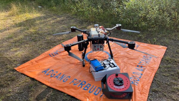
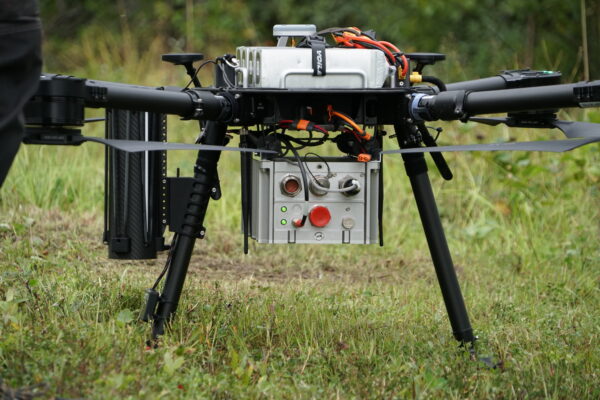
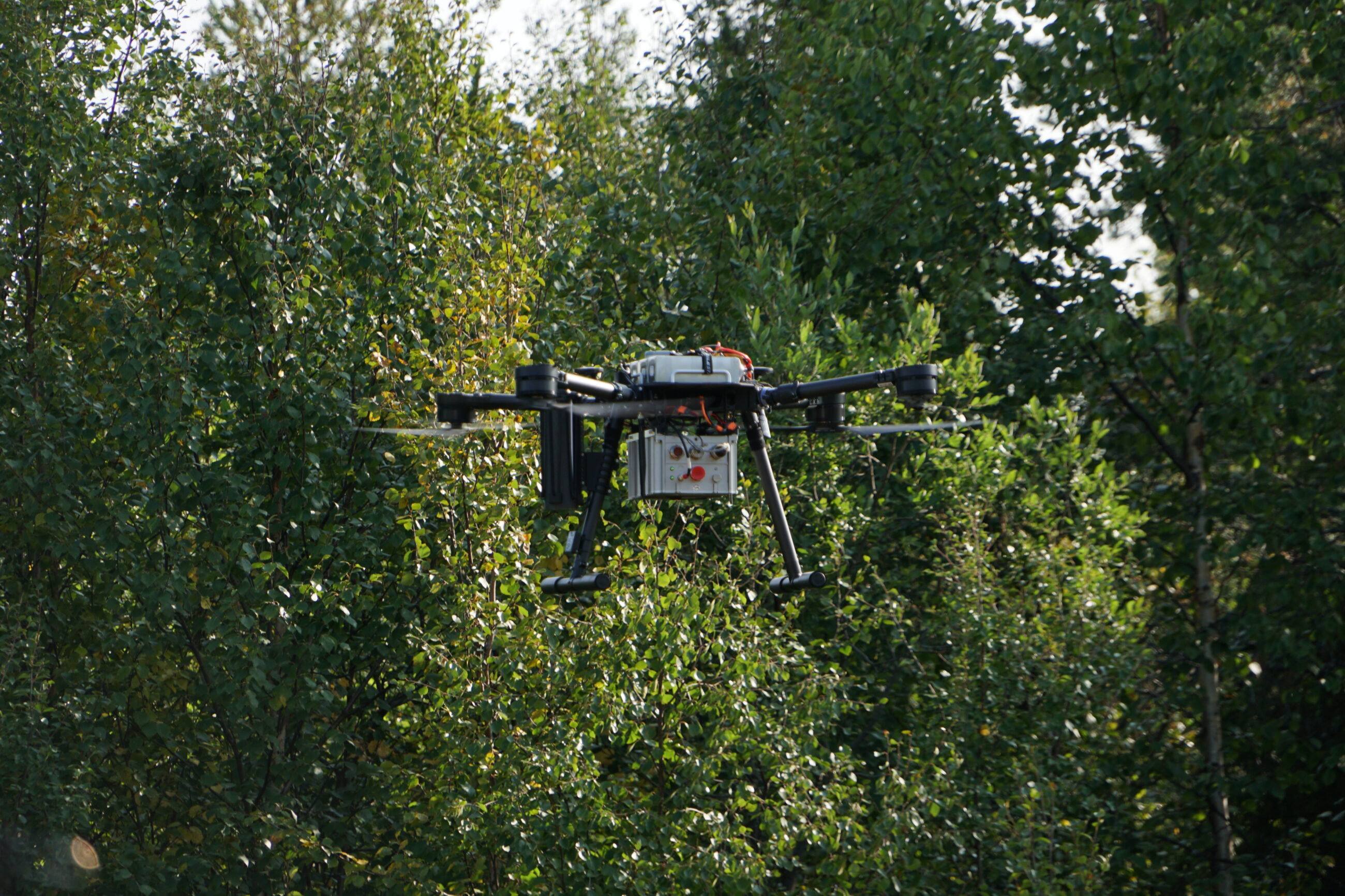
Our new ArcSky X55 quadcopter drone has been through several flight tests, both in Copenhagen, DTU and at DroneSystems’ office in Aarhus. In addition to our test flight in ASTA at DTU (https://dronesom.com/new-gravity-drone-asta-test-flights/) we had a full scale flight at an old airport in Værløse, Copenhagen.
As our heavy IMU payload brings the drone system to its absolute limit, then the need for a safe and reliable battery control is of absolute importance. From the test in Værløse we made valuable experiences to determine a safe maximum flight time used for realistically plan our upcoming field campaign.
In the end of August, we were ready for our first field campaign using the quadcopter-based gravity observation platform in Sweden. Participants in the field campaign was personnel from DroneSystems, BEAK and DTU. During these two days we flew 488 minutes (8.13 h) covering a survey area of 1.6 x 1.7 km. The average flight time was 15 minutes in challenging wind conditions with gusts reaching 11 m/s.
During some of the flights we experienced a wobbling-behaviour of our drone, which we in the post-processing could explain by the large local magnetic anomaly affecting the magnetometer data fed into the drone’s autopilot. Except from that the drone safely flew our valuable IMU in challenging conditions.


The survey was flown under a visual-line-of-sight (VLOS) permit. The VLOS limitations in combination with a challenging terrain, mostly consisting of wetland preventing ideal location of base stations used for our drone operation, made planning of the campaign challenging. Still, with adaptation made on-site we were able to fly all lines practically possible within the given VLOS permit in just two days.
Several practical improvements from the field campaign have already been identified:
- Fully implementation and use of GNSS RTK-service in the autopilot positioning during flight.
- Using tight lock screws for installation of the IMU. This is used to further minimize vibration and noise in the IMU observations.
- Performing a calibration procedure to estimate and remove accelerometer and gyrometer biases.
In addition to the drone measurements, a ground truth established with a Scintrex CG-6 relative gravimeter to be used for external validation of our drone-based derived gravity results. Processing of the drone data is still ongoing using the MATLAB-based gravity software under development at DTU.

