The DroneSOM project is focused on developing a drone-based gravity measurement system that utilizes the inertial measurement unit (IMU) of the German IMAR company. The Technical University of Denmark (DTU) is developing this, along with Finnish Radai Ltd, which is developing a drone-based geophysical electromagnetic (EM) survey system called Louhi.
In September 2023, drone-based gravity and EM field measurements were made in Savukoski, northeast Finland. The gravity data was collected from two flight lines in Ruuvaoja, while the EM data was collected from six survey flights that were completed in Sokli and Ruuvaoja.
The Sokli aerogravity survey was a good learning process, but the Russian border prevented BVLOS operations over the Sokli mine and the use of the adjacent Tulppio airstrip. Due to the absence of paved roads, an open field was used for the flight operations in Ruuvaoja, where the gravity survey had to be redesigned even though the area did not contain notable gravity anomalies. Unfortunately, the weather conditions were not suitable for great field measures, but gravity data was still able to be collected from two flights along four out of eight planned flight lines. The data is currently being processed and will be compared to previous studies from the Irish Sea.
Two of the EM field measurement flights were made in the Sokli site using one transmitter loop, while the rest of the four measurements were done in the Ruuvaoja site using two different transmitter loop locations. The data quality was mostly good, but in Ruuvaoja, half of the data was discarded due to bad attitude/orientation data. A preliminary interpretation of the EM data was made using 1D inversion. However, the Ruuvaoja case showed that the layered earth model does not suit the interpretation of fixed-loop data. Therefore, Radai is now continuing the development of a mesh-based inversion algorithm in their approximate 3D EM modeling and inversion software, Lempo3D.
The geophysical application methods include geological mapping, mineral exploration, groundwater, geotechnical investigations, and environmental monitoring. The airborne drone-based system has the benefit of avoiding terrain obstacles such as lakes, rivers, and swamps, as well as large ravines. Therefore, it is safer and more cost-effective than ground surveys, especially in rugged terrain. Unlike manned aircraft, drone surveys are versatile, fast to deploy, economical, and ecologically friendly.
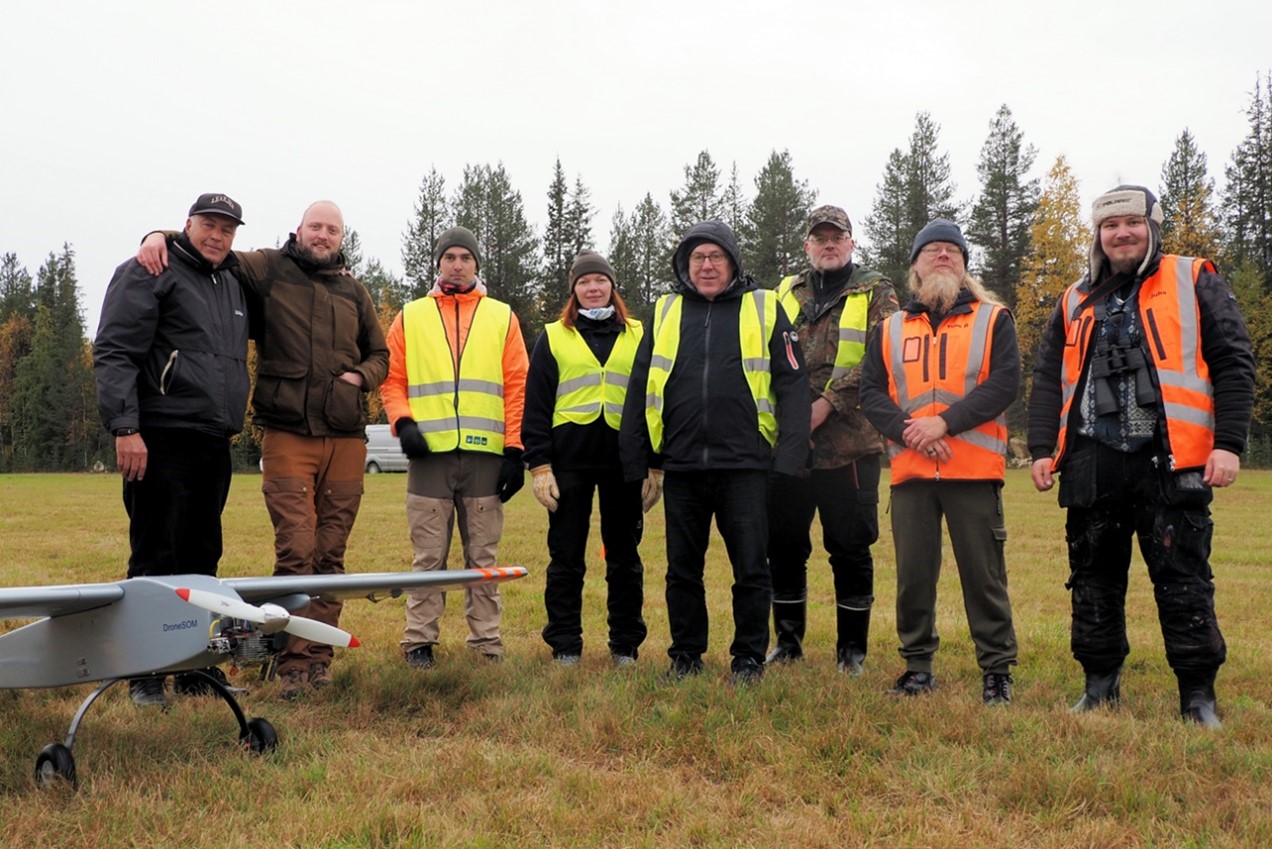
On the picture
DroneSOM field crew taken after the last gravity flight in Ruuvaoja on Sep 21, 2023. From left to right: Michael Dines Christiansen, Mickey Dines, Bjørnar Dale, Miia Mikkonen, Pekka Korkeakangas, Timo Matalalampi, Timo Åman, and Markus Kumpula. (Photo by M.Pirttijärvi)